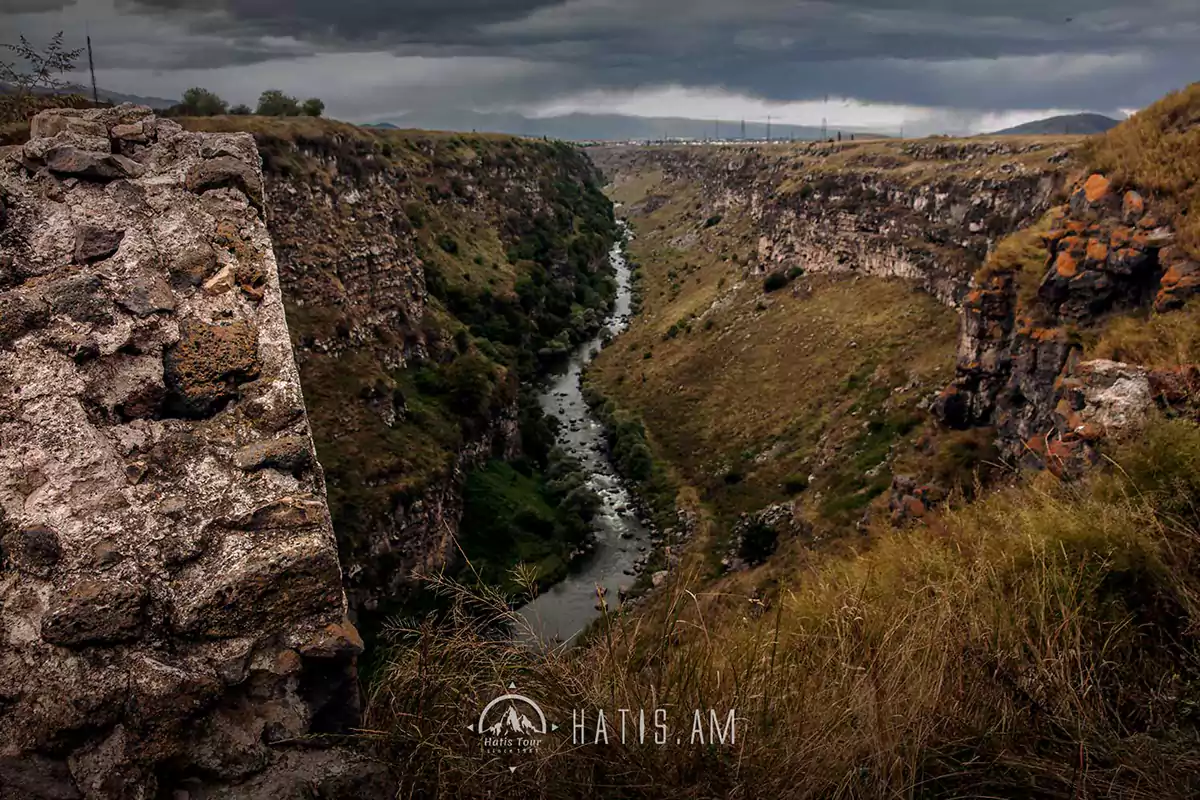
Chichkhan River located in the Shirak and Lori regions of Armenia, is the left tributary of Pambak. It starts from the north-eastern slopes of the Shirak mountain range, at an altitude of 2250 m. The length is 29 km, the catchment area is 192 km! In the upper stream it flows through a wide river valley. Below Trchkan waterfall, it looks like a gorge and opens in the area of Shirakamut village. Feeding is melting (42%) and underground (35%), flooding in March-June, during which 62% of the annual flow is formed. The average annual consumption is 1.74 m / s. The water is used for irrigation, especially through the Shirakamut canal, which was closed after the 1988 Spitak earthquake. 1993 it was cleaned and the canal started working again.


.webp)
.webp)
.webp)
.webp)
.webp)
.webp)
.webp)
.webp)
.webp)


.webp)
.webp)
.webp)
.webp)
.webp)
.webp)
.webp)

1 Comment
Смотрю канал Рыбалка в Армении, на озере Чичхан ловит Уста Самвел, огромное удовольствие смотреть.
March 12, 2023