.webp)
.webp)
.webp)
.webp)
.webp)
.webp)
.webp)
.webp)
.webp)
.webp)
.webp)
.webp)


.webp)
.webp)
.webp)
.webp)
.webp)
.webp)

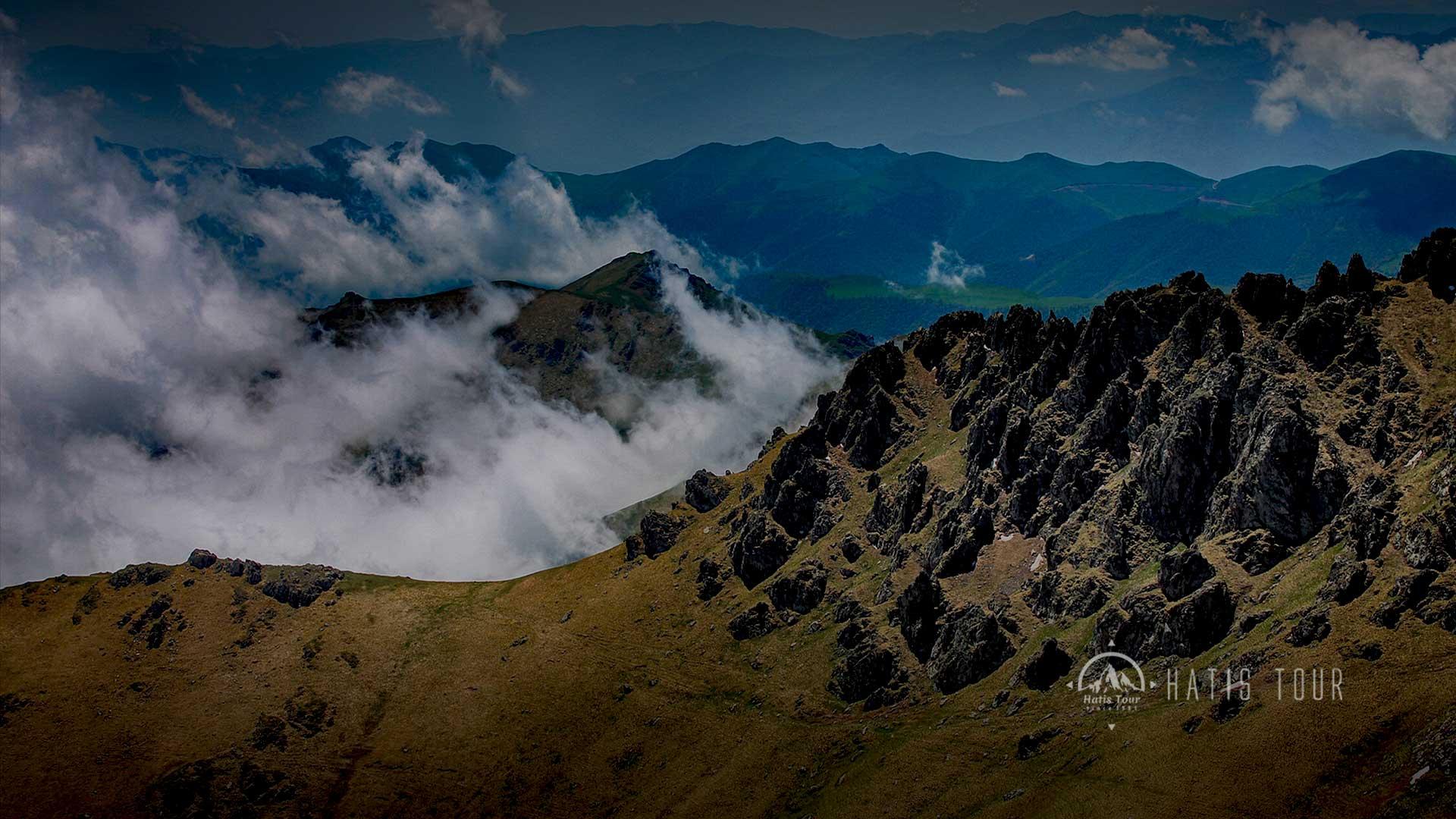
Bazum Mountains a mountain range in northern Armenia. It is 66 km long and 15 - 20 km wide. The highest point is Mount Urasar – 2992 m. Numerous tributaries of the Dzoraget and Pambak rivers flow from the slopes. The mountains are composed of rocks from the epochs of the Cretaceous and Eocene. There are reserves of chromite, granite, quartzite, as well as outlets of groundwater. The slopes are covered with meadow steppes, above – subalpine and alpine meadows. There are deciduous forests on the eastern slopes. A tunnel is laid under the ridge connecting the valley of the Dzoraget River (Lori Plateau) and the Pambak Valley.
.webp)
Leave a comment