Ararat is a province (marz) of Armenia. Its capital and largest city is the town of Artashat.The province is named after the biblical Mount Ararat. It is bordered by Western Armenia from the west and Nakhchivan from the south. It surrounds the Tigranashen exclave of Nakhichevan which has been controlled by Armenia since its capture in May 1992 during the Nagorno-Karabakh War. Domestically, Ararat is bordered by Armavir Province from the northwest, Kotayk Province from the north, Gegharkunik Province from the east, Vayots Dzor Province from the southeast and the city of Yerevan from the north.
Ararat Province
Two former capitals of Armenia are located in the modern-day Ararat Province, Artaxata and Dvin. It is also home to the Khor Virap monastery, significant as the place of Gregory the Illuminator’s 13-year imprisonment and the closest point to Mount Ararat within Armenian borders.
Etymology
Ararat Province is named after the historic Ayrarat province of Ancient Armenia. According to Movses Khorenatsi and the Ashkharatsuyts medieval Armenian geographical book of Anania Shirakatsi, Ayrarat was one of the 15 provinces of Armenia Major. It was considered the central province of the Armenian Highland. Most probably, the term Ararat derives from the Hebrew name of the ancient kingdom of Urartu.
Geography
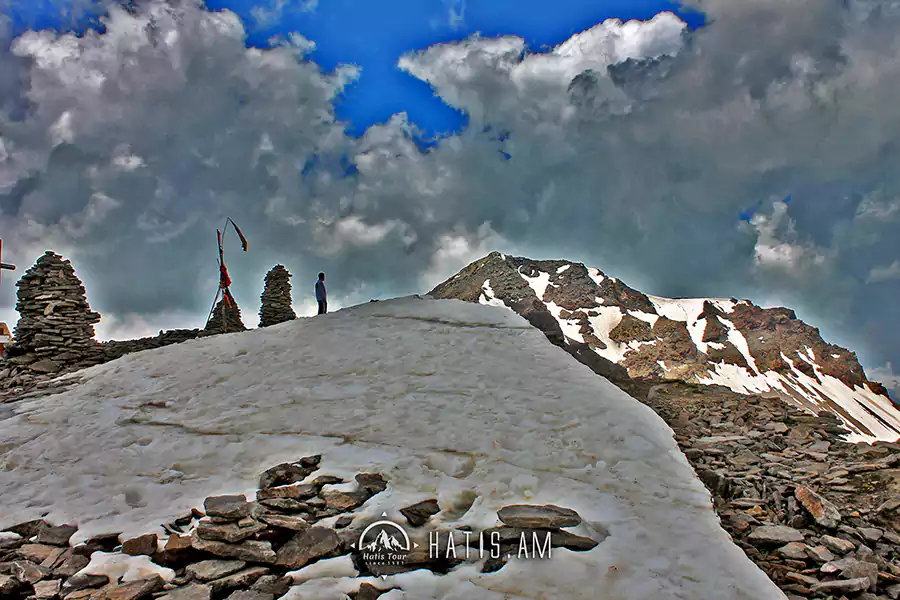
Ararat has an area of 2,090 km² (7% of total area of Armenia). It occupies the east of the central part of modern-day Armenia. From the north, it has borders with Armavir Province, Yerevan and Kotayk Province. From the east, its bordered by Gegharkunik and Vayots Dzor. Iğdır Province of Turkey and Azerbaijan’s Nakhchivan Autonomous Republic respectively form the western and southern borders of the province. Historically, the current territory of the province mainly occupies the Vostan Hayots canton of Ayraratprovince of Ancient Armenia. The province is located at the southeast of the Ararat plain, surrounded by the Yeranos mountains from the north, the mountains of Gegham, Dahnak and Mzhkatar from the east, Urts mountains from the south and the Araks river from the west. The mountains of Yerakh are located at the centre of the province. Approximately, 30% of the territory is plain, while the rest is dominated by mountains. The highest point of Ararat province is the Spitakasar peak of Geghama mountains with a height of 3560 meters. The lowest point is 801 meters at the Araks valley. Araks, Hrazdan, Azat and Vedi, are the 4 major rivers the flow through the province. The climate within the territory of the province is highly diversified. It ranges between extremely arid climate at the lower plains and cold snowy climate at the heights. The cliffy terrain of Khosrov Forest located at the northeast of the province, used to be the stronghold of the Endangered Caucasian leopards in Armenia. Between October 2000 to July 2002 tracks of no more than 10 individuals were found in an area of 780 km2 (300 sq mi)
Population
According to the 2011 official census, Ararat has a population of 260,367 (74,103 men and 133,146 women), forming around 8.6% of the entire population of Armenia. The urban population is 74,103 (28.46%) and the rural is 186,264 (71.54%). The province has 4 urban and 93 rural communities. The largest urban community is the provincial centre of Artashat, with a population of 22,269. The other urban centres are Ararat, Masis and Vedi. With a population of 8,376, the village of Ayntap is the largest rural municipality of Ararat.
Photo By: Artur Martirosyan
Hiking Tour in Ararat Province Armenia
The article is the property of hatis.am and it is forbidden to publish it without written permission. Partial or complete publication of the article can be done only by mentioning the source of the article or by actively linking to the website.
Leave a comment