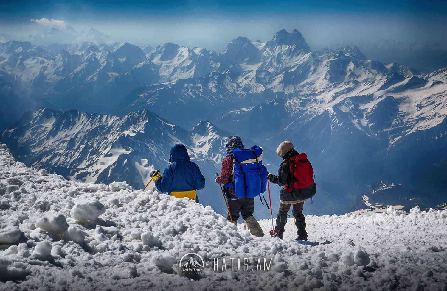
Mount Aragats is an isolated four-peaked volcano massif in Armenia. Its northern summit, at 4,090 m (13,420 ft) above sea level, is the highest point of the Lesser Caucasus and Armenia. It is also one of the highest points in the Armenian Highlands.The Aragats massif is surrounded by Kasagh River on the east, Akhurian River on the west, Ararat plain on the south and Shirak plain on the north. The circumference of the massif is around 200 km (120 mi), and covers an area of 6,000 km2 (2,300 sq mi) or around 1⁄5 of Armenia’s total area. 944 km2 (364 sq mi) of the massif is located above 2,000 m (6,600 ft).


.webp)
.webp)
.webp)
.webp)
.webp)
.webp)


.webp)
.webp)
.webp)
.webp)
.webp)
.webp)


1 Comment
Grisha
June 25, 2023Hiking with Hatistour is first of all a great pleasure to spend a nice time with friendly and competent people who share their huge experience and boundless knowledge of hiking and Armenian geography with each participant. Even if it’s your first hike, in their warm and kind atmosphere you forget it immediately and enjoy the beautiful nature with sociable people and you return home with lots of pleasant impressions and unforgettable memories…